 Helen Chick

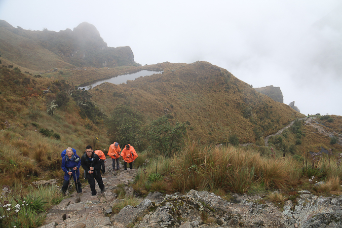
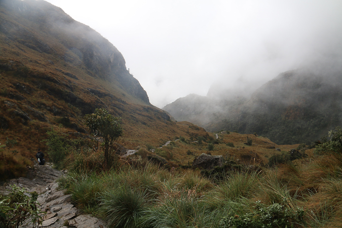
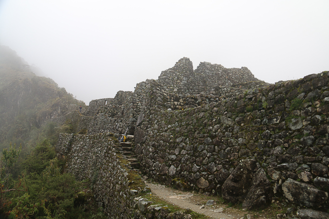
After lunch we headed uphill to Runkurakay Pass (S 13°13.6′ W 72°30.3′), which I felt was the hardest bit of the day. It’s almost as high as Warmi Wañusca (around 3950m), and there were sections of the track that were 1 in 2, with steep steps. It was slow hard going, especially in the wet.
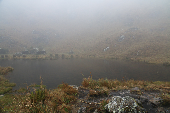
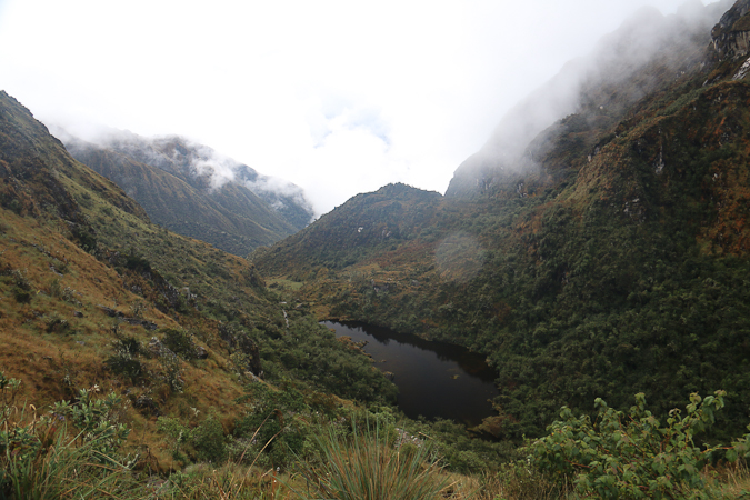
Near the top there were a couple of lovely small lakes, and reaching the pass itself was a great relief, especially as most of the rain had eased, although the mist still lingered.
From here the downhill was relatively straightforward … thankfully.
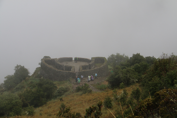
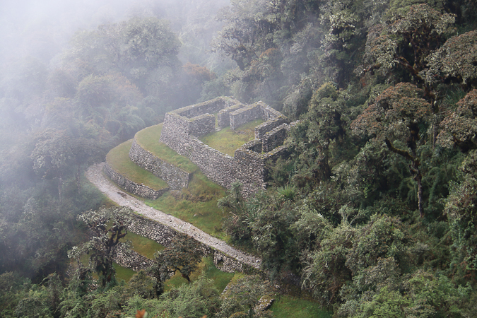
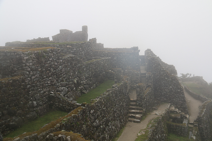
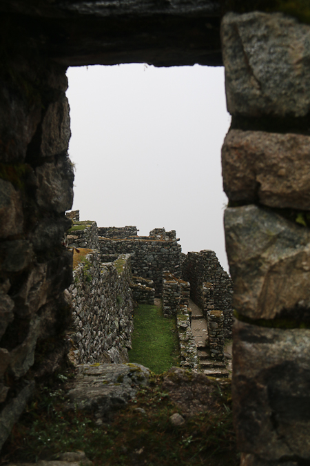
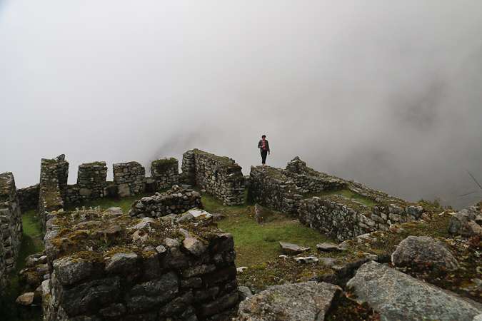
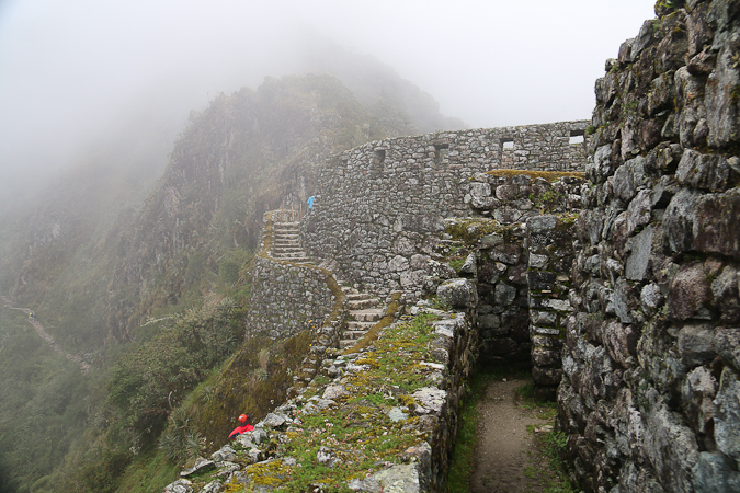
At Sayacmarca (S 13°13.7′ W 72°31′) there was a reasonably big ruin that once held about 15 or so families, on maybe a half-hectare site. It was very atmospheric exploring the ruins in the mist; it was easy to feel a sense of timelessness which somehow bought the Incan culture a little closer, as if you might turn a corner and encounter a Quechuan farming family.
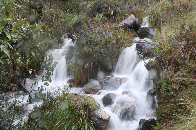
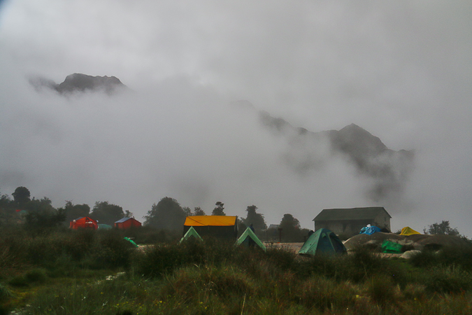
The track for our final 800 or so metres to our campsite at Chaquiqocha (S 13°13.35′ W 72°31.15′) was quite pretty and there were some very Tasmanian looking ferns in amongst the bamboo and other greenery. Our site was already set up, and occasionally we could glimpse the surrounding mountains through the mist before we tucked in to another filling meal and having an early night. I’m told tomorrow’s walk is going to be relatively easy (which won’t be hard to achieve, in comparison to today!).
Latest comments