 Helen Chick

The second day of the trek was one of the toughest days of walking I’ve ever done. In total, we climbed about 1500m (so, if you like, up Mt Wellington from sea level — and then some — using the steepest ways imaginable apart from actually climbing the vertical Organ Pipes, and with some oxygen deprivation thrown in for good measure). And when I say steep, there were parts that were really steep, often around 1 in 4, and sometimes steeper. Our horizontal (well, GPS) distance was about 13km. To compound the challenge there were some steep descents as well, AND it was pretty rainy, especially in the afternoon.
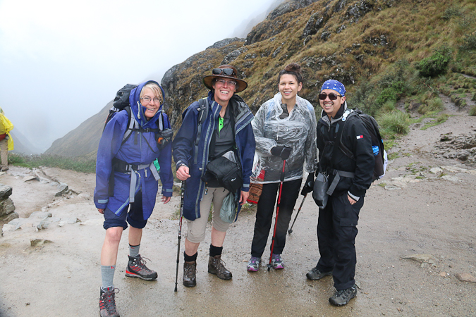
We had a relatively early start, with a very filling breakfast. We then shouldered our mere 5kg day packs and headed off. The porters remained to pack up the camp, but before long they overtook us, and there were parts that they actually ran. We had to be alert to them coming up behind us, so that we could give them room to pass.
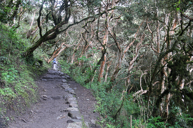
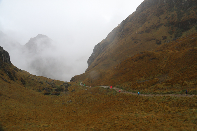
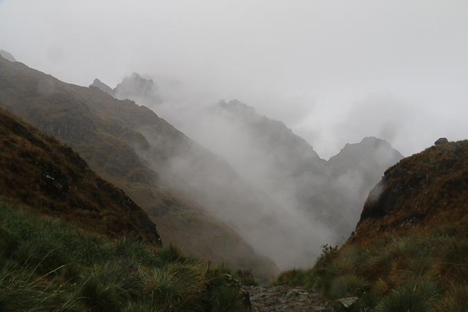
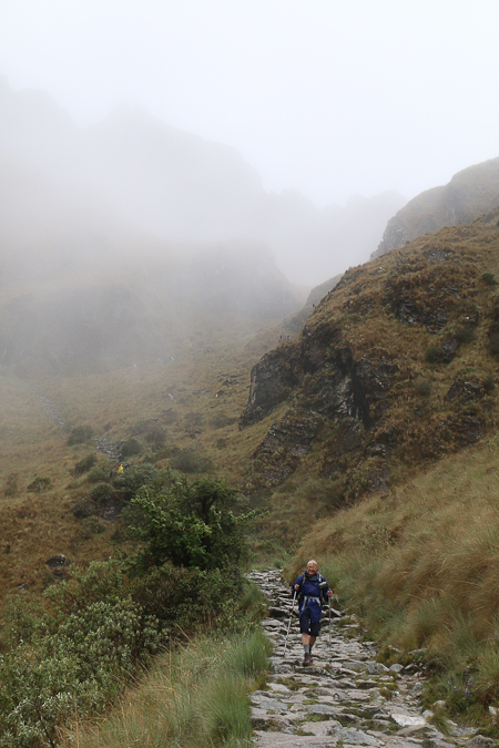
The first section of the day’s walk, from Ayapata to Llulluchapampa (another campsite) was hard going: steep and with awkwardly large steps (I estimate the average slope of this section was 1 in 5). The mist meant that the views were very limited, though often atmospheric. Thankfully the steepness eased a little for the second half of the ascent to Dead Woman’s Pass (Warmi Wañusca) and the mist occasionally cleared so we could see the path ahead and where we’d been … although it clagged in again.
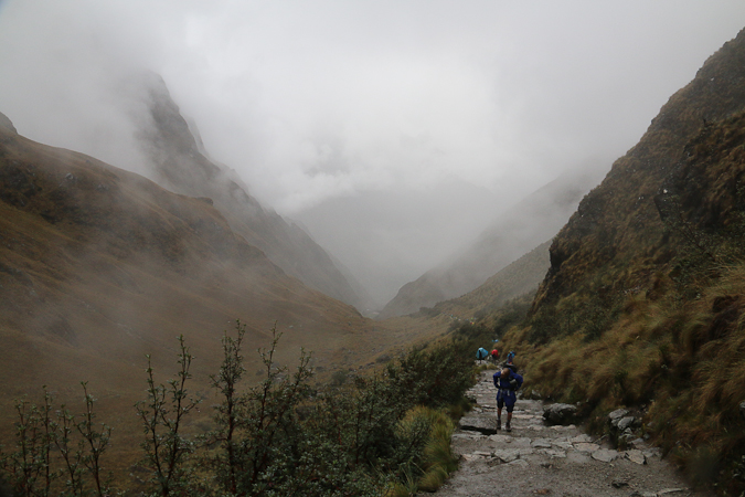
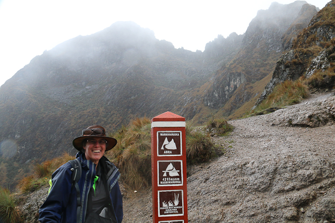
Here you can see the iconic silhouette indicating Dead Woman’s Pass.
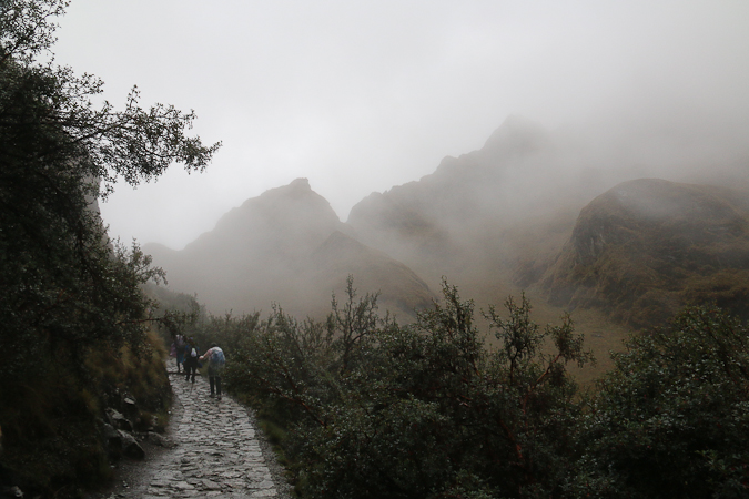
The view back down the valley behind us was spectacular, despite — and because of — the mist.
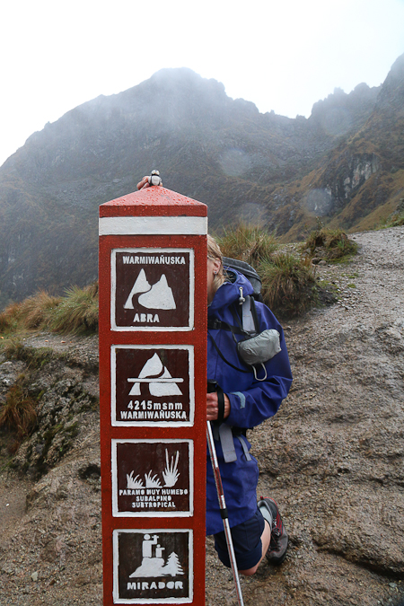
It was a great relief and sense of achievement to arrive at the pass (S 13°14.55′ W 72°29.05′), although the views were, perhaps, a little disappointing compared to what we might have seen on a clearer day. At 4215m, this is the highest point on the Inca Trail, and the highest point above sea level I’ve ever been while still having my feet on planet earth (ahh, oops, not counting the pass we went through a few days ago on the bus from Puno to Cusco!). Adele, the 3D printed penguin, didn’t seem to have any trouble with the altitude, however … although she couldn’t stand on top of the post without some assistance.
While the others started the descent, I took a diversion up a ridge to locate a geocache, although in my enthusiasm to get there quickly I got very out of breath (yes, you do notice the reduced level of oxygen). It took a few moments of searching, and it was a bit cold, lonely and bleak, but I found it eventually: my highest ever cache.
I then commenced my descent and found myself making very good time compared to most others.
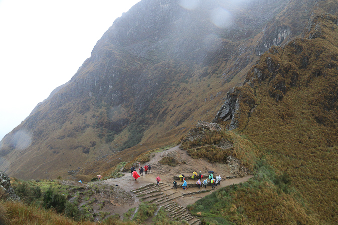
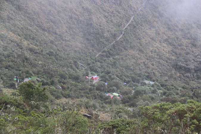
By the time we reached Pacaymayo (seen in the photo below, S 13°14′ W 72°29.9′), the mist had turned to rain, making things very unpleasant and challenging the care of my camera. Lunch was, however, good — and we were glad of the shelter of the dining tent — but in order to face the afternoon I added overtrousers to my attire and removed my now very damp leather hat.
Latest comments