 Helen Chick

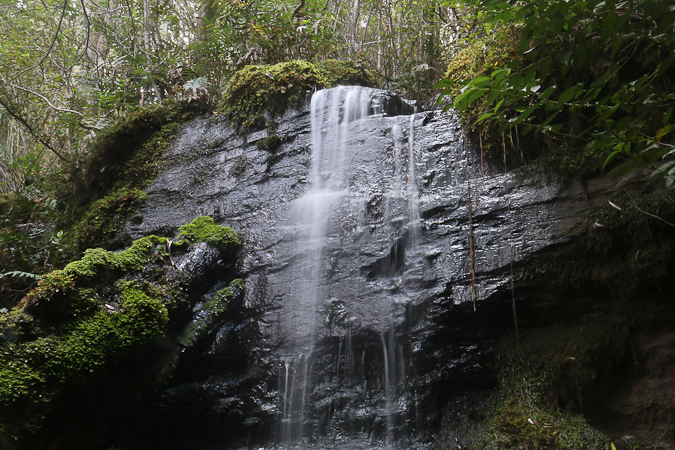
As I was tidying my house this week, I came across a map of part of Mt Wellington that had been given to me, upon which was marked the route to a waterfall I’d never visited. I am a sucker for a waterfall and an obscure track, so I called up Dad to see if he would like to come for a little expedition.
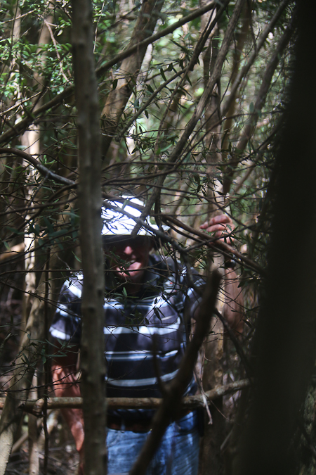
The track in was faint but discernible; not exactly overgrown, but rarely used and probably, in part at least, evidence of timber retrieval methods used during logging 150 or so years ago. Small fallen trees and branches were hindrances and, since I was leading the way, I ended up with a face full of spiders’ webs, despite my best stick-waving efforts. The GPS, which I had programmed with rough coordinates estimated from the map, indicated that we were getting closer, and eventually the sound of water confirmed our arrival.
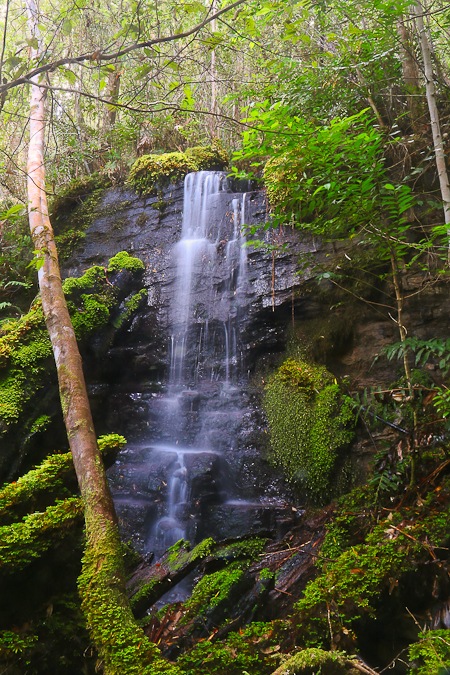
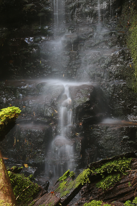
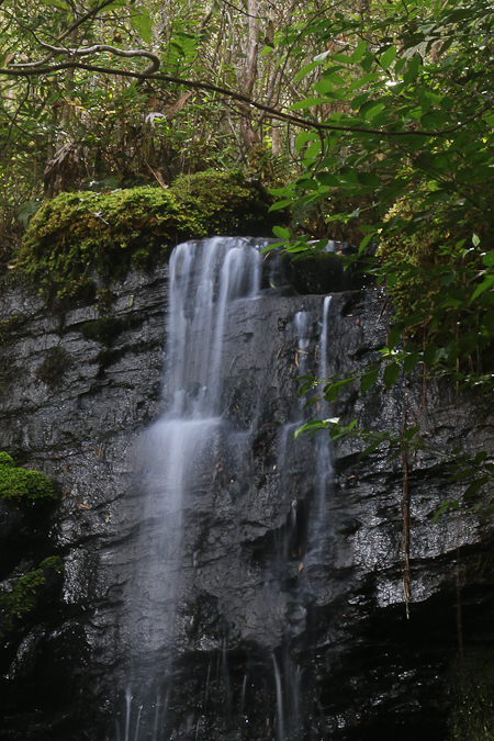
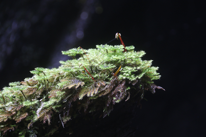
The falls are only 3m-4m high, but very pretty tumbling down over the darkened rocks among the mossy greenness. I found a vantage point for the tripod and took a few time exposures, which turned out reasonably well. I’m not as happy with the “silhouetted” mossy green branch, however, because although I thought my longer exposure (and resultant smaller aperture) would improve the depth of field, I should have realised that, at 200mm, it is pretty much the case that there is no depth of field, and so there are parts of the shot that are out of focus.
We decided to take a “short-cut” to head out, choosing to go cross-country to a nearby track about 250m away. Let’s just say that it took a surprisingly long time — about half an hour — to traverse this terrain, with the bush not quite impenetrably dense, but certainly thickly forested with thin trees criss-crossed at every angle from horizontal to vertical, making the going slow. Fortuitously, however, another set of estimated GPS coordinates to assist our navigation saw us meet the sought-after track right at a footbridge across another creek, which was very convenient, and from here the return to the car was nice and straightforward.
Latest comments