 Helen Chick

Well, it has been 16 months since I last blogged (at the time of writing this entry, the most recent entry before it was the 12 of 12 for September 2020) … and tonight, when I decided to post, I couldn’t actually remember how to log in! As is evident if you are reading this, I managed it eventually!
I have still been 12 of 12-ing every month (not always in a particularly worthwhile fashion) despite the fact that my blogging has fallen by the wayside. I would actually like to catch up on those lost 16 months: not just the 12 of 12s, but a few other occasions as well. So, I am going to start here while I can still remember what I did today (something that may not be true of some of the catch-up posts when I get around to them!), and work on catching up over the next however-long-it-takes.
Anyway, enough of explanatory blather; let’s get to the point for today’s post.
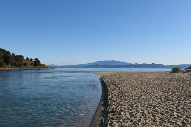
COVID is still being a nuisance, and, just when things were kind of okay in Tasmania, they’ve gone and become unsettling. Summer is never a good time for me at work at the best of times, and this unsettledness has made things worse. So, I decided I needed a walk on the way home, and selected the Kangaroo Bay foreshore as my jaunt du jour.
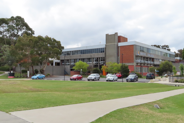
I decided to take a couple of photos of my alma mater, Rosny College, since I don’t think I actually have any photos of it in my collection. I did Years 11 and 12 here, back in the 1980s. The exterior has hardly changed, and—infamously—some of the original carpet is still there.

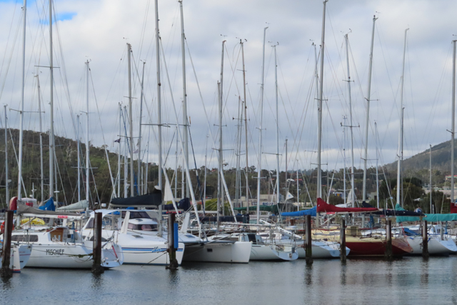
The foreshore track continues past the yacht club,
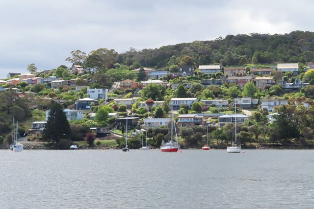
the sun peeked through the clouds briefly and lit up Rosny Hill on the other side of the bay,
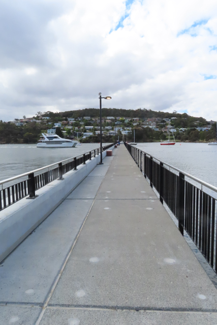
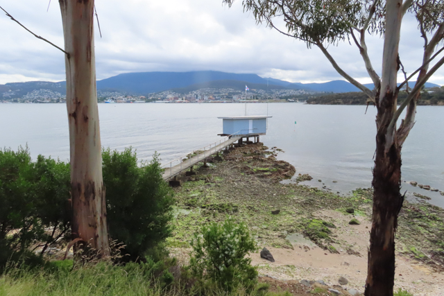
and I got to check out the new jetty that has been built near the hotel.
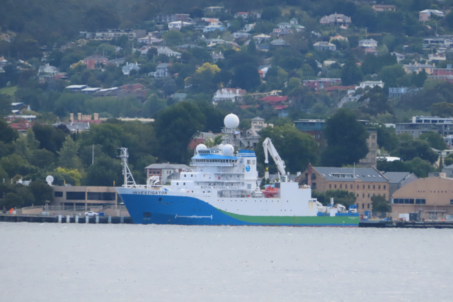
I continued further around the bluff, and my zoom lens managed to bring the CSIRO research vessel Investigator into closer view (it’s also visible in a couple of the later photos). It was going to be heading down towards Antarctica, but a COVID outbreak put paid to that plan, unfortunately.
The summit of kunanyi/Mt Wellington was shrouded in cloud, and it didn’t feel like a particularly summery day … which kind of reflected my frustrated mood.
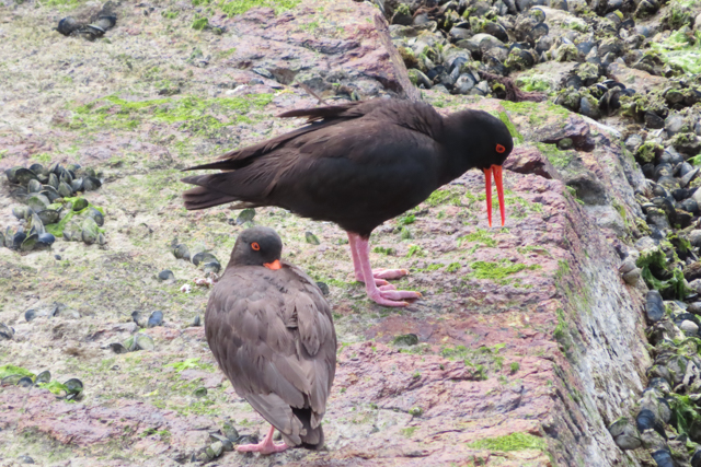
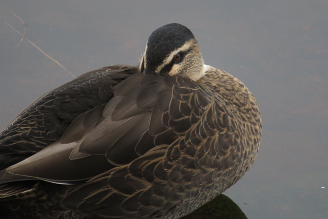
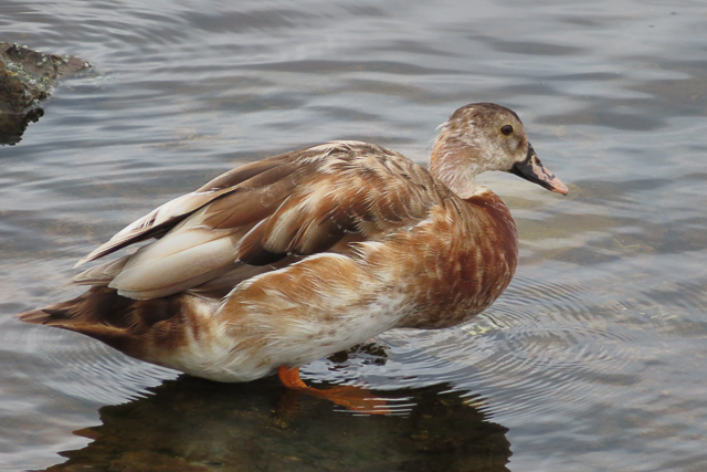
However, I felt better seeing some of the birdlife on the shore: lots of sooty oystercatchers …
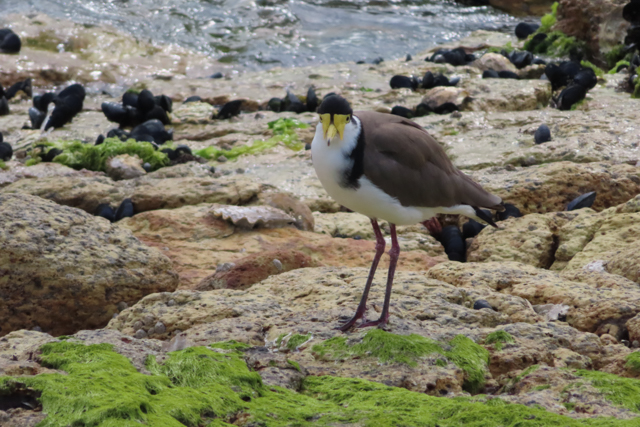
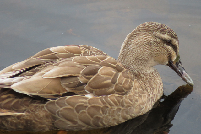
and some lapwings (or spur-wing plovers), which I don’t tend to think of as shorebirds, but they were quite happy wandering over the rocks, scrarking their warning calls.
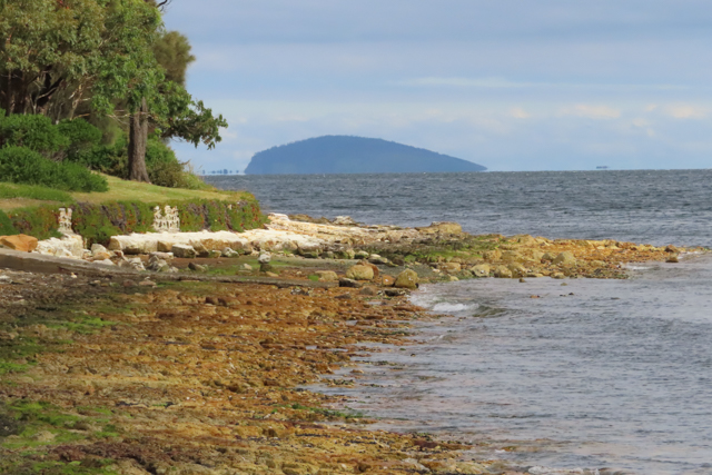
The view down the Derwent towards South Arm reveals the characteristic silhouette of Betsey Island.
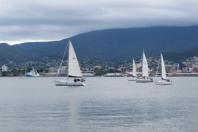
It was late on a Wednesday afternoon, which meant that the bustle I had noticed on the marina earlier in my walk, and the green flag on a buoy that I spotted off one of the little points,

portended a large flotilla of yachts readying themselves for a race as I made my way back to my car.
[At the time of writing, this is the 133rd “12 of 12” post; but if I can manage to catch up on the past missing months (I have the photos) then it will become the 148th.The “12 of 12” project involves taking 12 photos on the 12th of the month, thus providing the opportunity to get snapshots of different aspects of your life. ]


Latest comments