\
Our plane landed at Melaleuca airstrip (a very isolated place) and before
donning our packs for the walk, we took a boat trip out onto Bathurst Harbour.
This shows the bank of Melaleuca Creek on the way.
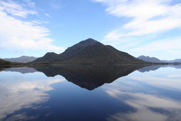
ˆMt Rugby and its reflection on Bathurst Harbour.
SW Tas is notorious for its wild weather. You know it's a rare good day when the
plane pilot (who doubled as the cruise captain) was also taking photos!
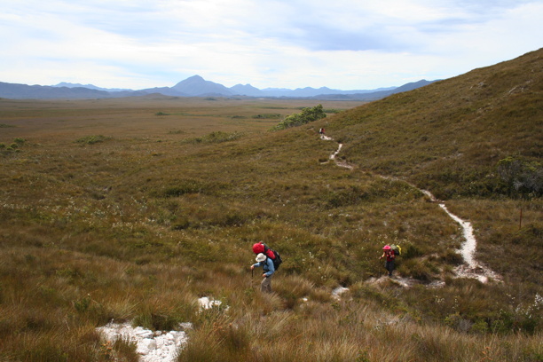
After the cruise we shouldered packs and headed southward, across the vast
buttongrass plain. (That big peak on the horizon is Mt Rugby again, and you can just see
the white scar of the airstrip to the right of the base). Sometimes the track we walked on
was nicely rocky. Other times it had no choice but to go through mud
that — to our chagrin —occasionally revealed itself to be beyond knee deep.

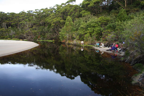
After a feels-much-longer-than-that 12km we came out onto the "marsupial grass" that
fringes the tannin-stained lagoon on the left. (The fresh water in the lagoon
is stained brown by the tannins in the vegetation. It's still drinkable.)
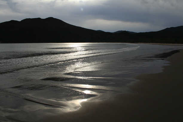
The lagoon empties into New Harbour Beach which here looks very dramatic
thanks to
underexposing an afternoon photo.
I think everyone was a bit relieved to arrive and make camp. Most of them were soon
preparing tea on a tiny little beach that disappeared at high tide
(our campsite is hidden under the trees about 20m behind the little beach).
I ended up having my meal later than everybody else because
I was too busy taking photos.
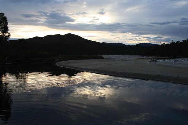
From our dinner beach looking across the lagoon and along the main beach to the west
(where the sun, cursed with cliches at this time of night, is sinking slowly).

30 second time exposure at dusk, looking out to the entrance of the bay, with
its steep headlands on either side and a couple of dangerous rocky islets,
here appearing as one since they are aligned.
(I carried my tripod in. Having done so it was important to put it to good use, lest people
think me crazy for carrying it*. The existence of the tripod partly explains my pack's
22kg weight. Food also accounts for some of it, but try as I might I don't seem
to be able to account for all of it.)
*As if there isn't enough other evidence for a certain degree of certifiability.