 Helen Chick

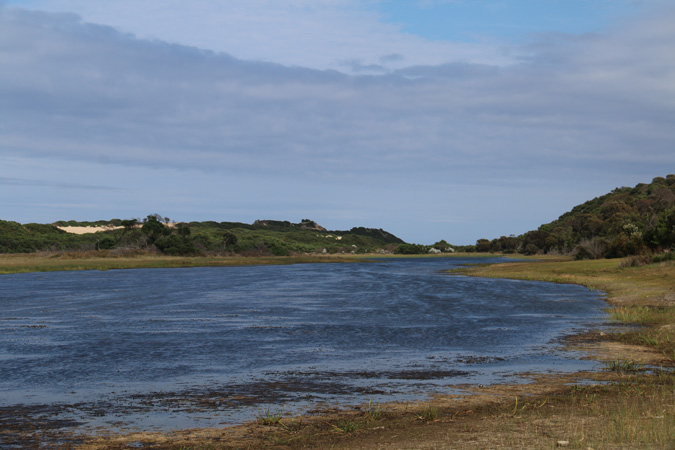
Today was a day for following roads to see where they went, and finding bits of coastline previously unvisited. To the east of Bridport there are some coastal lakes, set behind the dunes, including the lovely Little Waterhouse Lake, skirted by a narrow sandy track, and with a handful of comfortable shacks along its shore.
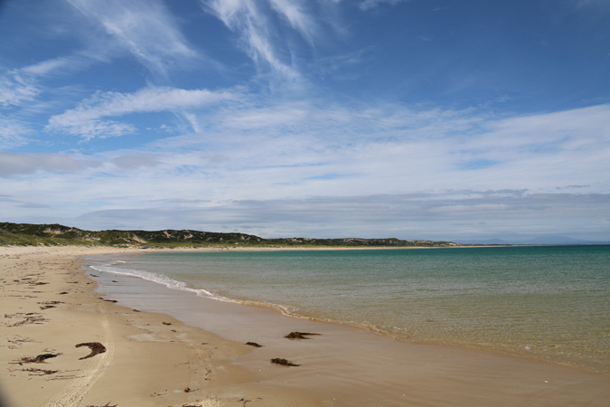
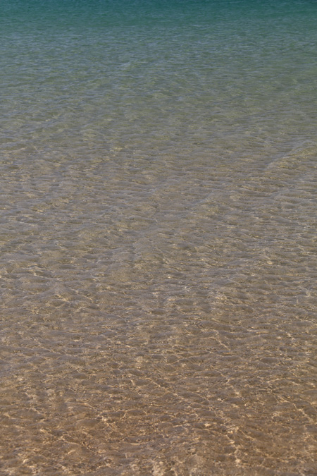
A nearby road leads out to South Croppies Point, and the nearby beach. We parked a couple of hundred metres from the beach as it got a little too sandy to drive the track (I need to learn just how much sand my Subaru can handle, but today wasn’t the time to experiment!). There were some interesting beetles on the track, and, having never visited before, it was pretty spectacular to step out onto the vast stretch of cream sand leading south-westward, with the crystal clear water looking positively tropical. 
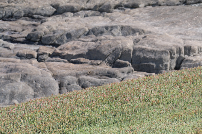
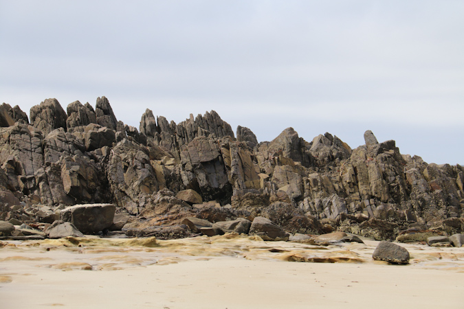
We then drove up onto the rocky point itself, where the dolerite rock formations were a striking contrast to the beaches on either side. 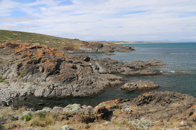
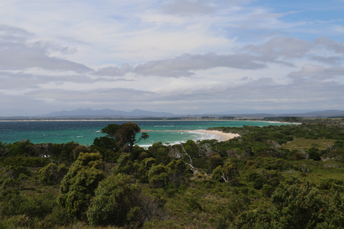
Homestead Road continues further north to some rather windswept coastal hills, but with some lovely campsites tucked in amongst the trees near some lovely beaches. The view below was to the east towards Tomahawk, with Mt Cameron (I think) in the background.
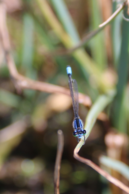
And somewhen during the day I got this photo of a damselfly-thingy (I’m not good with arthropods).
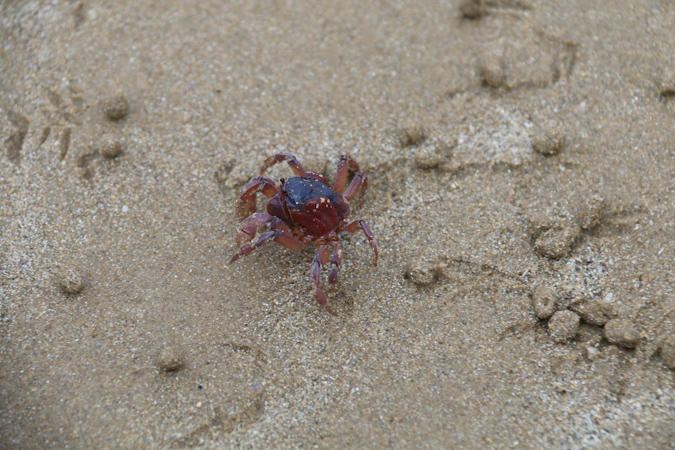
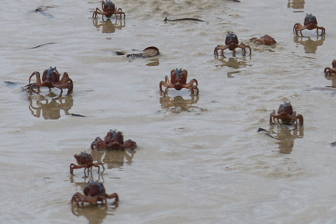
We then made our way to Tomahawk, crossing the river and exploring the coast as the tide went out. There were lots of soldier crabs wandering the edges of the sandy pools, although they were quick to bury themselves if you approached too closely.
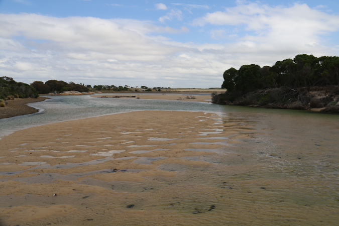
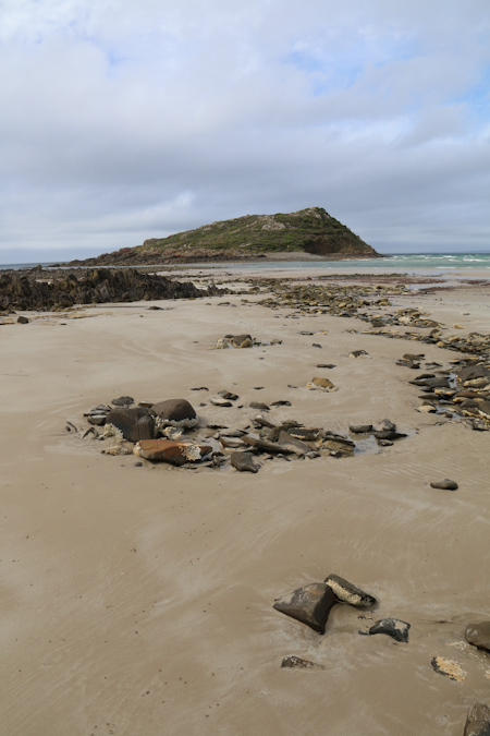
The tide didn’t get quite low enough in the time that we were there to make the crossing to Tomahawk Island (there’s a cache out there, so there was a bit of incentive to try, but it would have been just a little bit too damp), but the coastal views, even with the overcast sky, were still enjoyable.

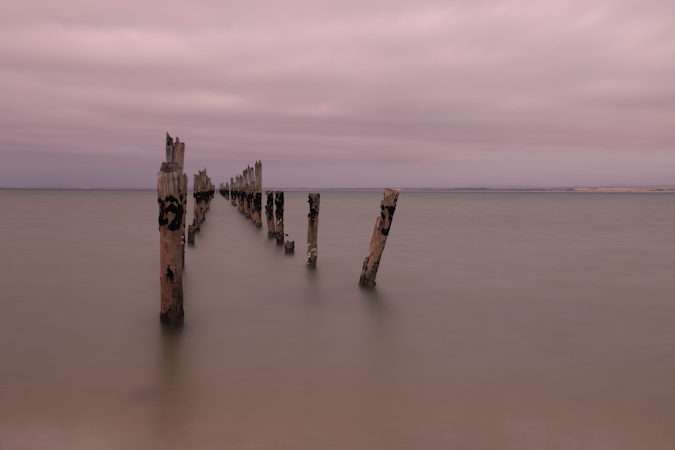
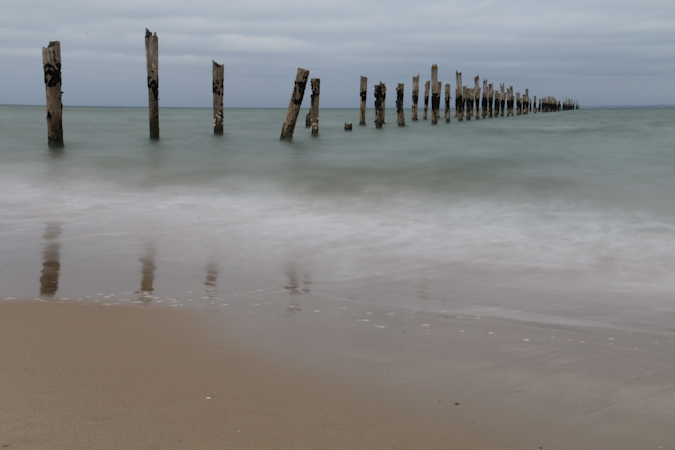
Back in Bridport I headed down to the old jetty just around sunset and tried a few time-exposure shots. I’m quite happy with how they turned out.
Latest comments